Friends of Waite Conservation Reserve
– Walks –
There are three marked trails in the Waite Reserve – the Loop Trail, the Sheoak Loop Trail and the Yurrebilla Trail.
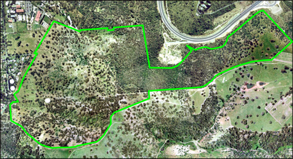
There’s also free Waite Conservation Reserve App that visitors can use when walking in the reserve. The App provides navigation aids with full hi-resolution aerial image background map screens showing all of the major trails and minor tracks. Using location services from mobile devices the app shows users where they are located within the Reserve and enables them to choose which tracks or trails they wish to follow. This interactive App has information about features along the way, links to fauna and flora checklists, location of seats and picnic tables etc and it also has a ‘Where am I?’ function. Tap on the headphone icon to hear a Kaurna person speaking a Kaurna word for a feature at that site and see its translation. Download the Waite Conservation Reserve App from Google Play Store or the Apple Store
Here’s a map showing the three trails in the reserve with some overview notes; Walking trails in the reserve. Details on each of the three walking trails are given below:
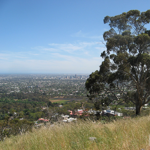
- Loop Trail – this 4km trail starts at the bottom of Wild Dogs Glen at gate 61. Follow the blue arrow route markers. The walk starts with a steep climb but is gentle thereafter. On this walk you will cover a large part of the reserve and will have magnificent views over the Adelaide Plains to the sea. Markers along the trail give information about points of interest. The loop walk takes about 2 hours and brings you back to the starting point. Download the Loop Walking Trail Guide including map and nature notes.

- Sheoak Loop Trail – this is an eastward extension from the Loop Trail that was completed in 2020. It will add about another hour to your return walk. The Sheoak loop trail is shown on the map in the Loop Trail Guide, May 2022 above and also in the leaflet Waite Conservation Reserve – Nature at Your Door. Follow the white arrow route markers.
- Yurrebilla Trail – this trail traverses the Waite Conservation Reserve. It crosses our southern boundary from Carrick Hill and continues on a public walking track through Springwood Park to the old Mt Barker Road, below Eagle on the Hill. This trail is mostly a narrow footpath no steeper than 1:11 grade. Follow the red arrow route markers.
For a map and notes on the walking trails in the Waite region, including the Waite Conservation Reserve Trails and nearby trails such as Springwood Park, Carrick Hill, Brown Hill and the Old Mitcham waterworks, download the leaflet Waite Region Trails.
For further details and information, please contact:
The Manager of the Waite Conservation Reserve Dr Kate Delaporte, email: kate.delaporte@adelaide.edu.au
Please Note:
Opening times: The Waite Conservation Reserve is open to the public from dawn to dusk every day except on Total Fire Ban Days for the Mt Lofty Ranges fire district. Please check CFS (CFS Hotline 1300 362361). https://www.cfs.sa.gov.au/bans-and-ratings/
To preserve the Reserve natural environment and minimise disturbance to wildlife living in the area, dogs are not permitted.
In summer, the average maximum day temperature is about 27°C, but there are often days of high 30s, so a hat, water and sunscreen are essential.
In winter, the ground can be very wet underfoot and boots or sturdy shoes are recommended.

